PUTNAM DIVISION
MAIN LINE
At BN Yard, just east of Marble Hill Station on Metro
North's Hudson Line, exists the only remaining trackage
of the Putnam Division.
-Here Metro North stores MOW and garbage cars.
By 231st track ends. North of here is Stella D'ora Bakery.
The right-of-way parallels the Major Deegan Expressway to
Van Cortlandt Park.
-Along this section of track still exists several "tell tales".
Unpaved Section runs from Van Cortlandt Park in the Bronx
to Yonkers.
VAN CORTLANDT-Remains of the station still stand, as do 2 bridges
over Van Cortlandt Lake.
SOUTH COUNTY TRAILWAY
11.60 miles, is paved. 2.15 miles, Redmond Park to Tuckahoe Road, in Yonkers, is impassable. 0.50
mile detour is necessary from Route 119 in Elmsford to Warehouse Lane in Greenburgh to access THE NORTH COUNTY TRAILWAY.
Entering Yonkers, as well as Westchester County, you enter
Tibbits Brook Park, a county park.
-Telephone poles still line the ROW within the park.
DUNWOODIE-one bridge crosses over the Cross County Parkway, and
the other over Yonkers Avenue, which still has New York Central markings.
*Parts of the trail are impassable in Yonkers.
Redmond Park to Tuckahoe Road. 2.15 miles.
Parking Lot at Hastings-On-Hudson
Excluding Nepera Park station (Railroad Avenue) , there
are signs depicting station location and history , at all
stations to Elmsford.
MT. HOPE-There are pillars which remain at the station location.
CHAUNCEY
ARDSLEY
WOODLANDS
WORTHINGTON
ELMSFORD-Tony's La Stazione Restaurant and at Rt. 119, the rails
are still evident.
*Route 119, Elmsford, to Warehouse Lane, Greenburgh, a detour via Route 9A is necessary.
0.50 mile
YONKERS
THESE SECTIONS ARE NOT PAVED, AND ARE NOT PART OF THE TRAIL SYSTEM, BUT ARE FORMER PARTS OF THE RAILROAD.
GETTY SQUARE BRANCH
Ran from the junction with the main in Van Cortlandt Park
in the Bronx, to Getty Square in Yonkers.
In Van Cortlandt Park, bridge abutments remain.
CARYL-At the Yonkers/NYC Line , there is a Yonkers city parking lot.
From here a trail heads north.
LOWEREE-A wall near Van Cortlandt Park Avenue and Lawrence
Street hints of it's railroad past.
PARK HILL
GETTY SQUARE
NEPPERHAN BRANCH
Ran from the main near Grey Oaks, south to the factories
of Nepperhan Avenue.
-Remnants once remained at Lake Avenue before the tracks were paved over.
NORTH COUNTY TRAILWAY
Connects with the South County Trailway at Eastview. All 22.1 miles are paved, and most of the trail has it's own course,
except for 2 sections between Millwood, and Briarcliff Manor, which share the road shoulder. Connects with The 7 mile Putnam
Trailway at Baldwin Place.
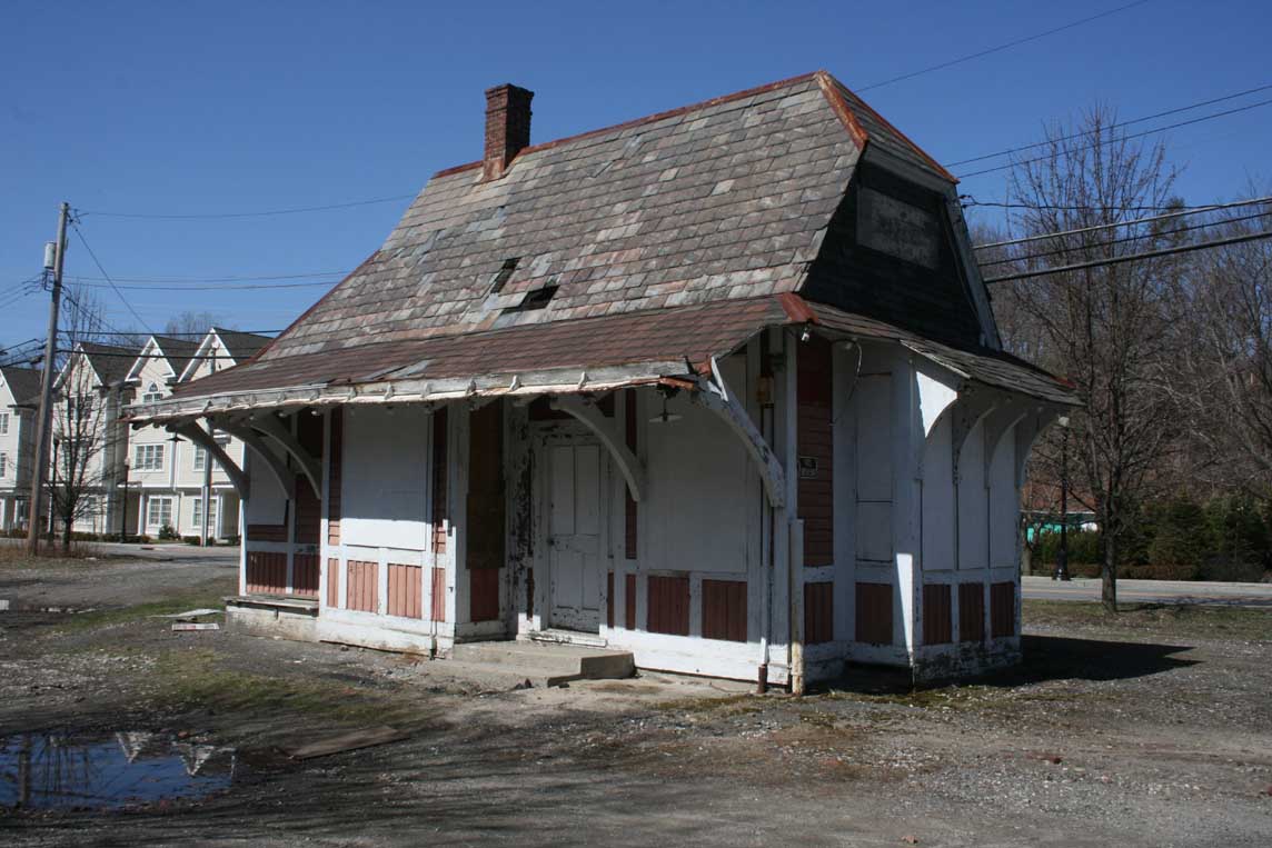
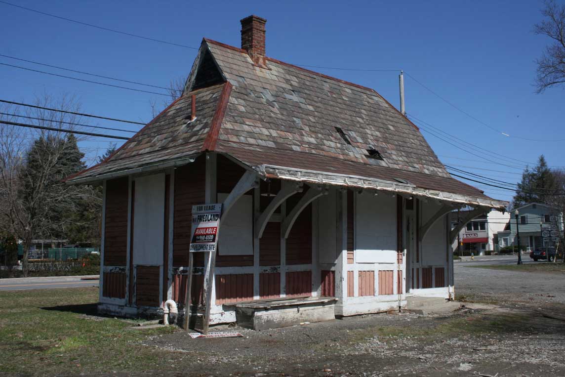
REMAINING STATIONS:
BRIARCLIFF MANOR- NOW A LIBRARY
MILLWOOD-
YORKTOWN HEIGHTS-
NOTABLE REMNANTS:
NEW CROTON RESERVIOR BRIDGE-
Which NYS DOT and Persico Contracting received
Honorable mention by The US DOT Federal Highway Administration 2002 Excellence in Highway Design Awards Category 6: Highway
Related Project, for Completion of the fifth and final segment of the North County Trailway involved converting 5 miles of
abandoned railroad bed into a paved pedestrian and bicycle path. This historic former railroad bridge was originally targeted
for removal.
LAST UPDATED 8/28/08